Through an interdisciplinary experimental model headed by the Dr. Victor Sevilla Undathe Autonomous University of Baja California Sur works on solutions for the erosion control and groundwater recharge in the basin of La Paz.
The research professor of the Department of Earth Sciences The study area has the highest rainfall recharge in the basin, with an average annual rainfall of up to 300 millimeters, but faces problems of soil loss due to water and wind erosionThe overgrazingThe academic institution informed in a press release.
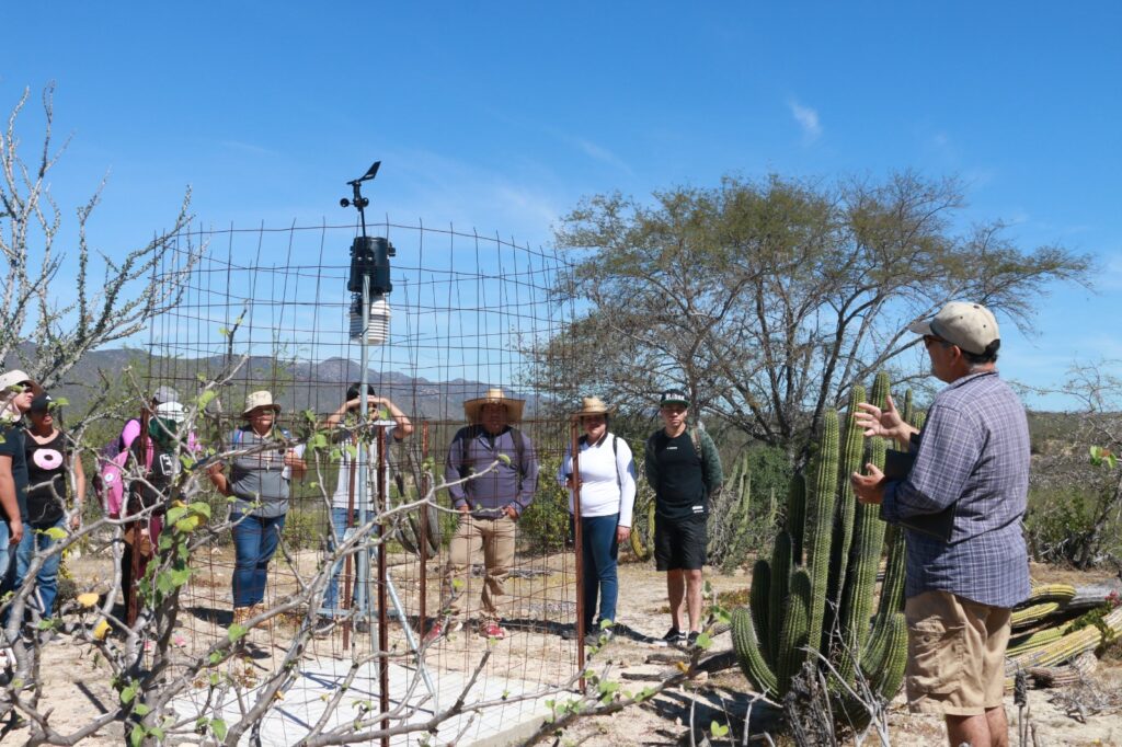
The didactic module with which UABCS is intervening is called "Don Mariano"This is located in the upper part of the La Paz watershed to control erosion and recharge the aquifer.
The premise, says Sevilla Unda, is to intervene in areas degraded by erosion and intensive livestock activity, for which they established 4 special programs covering the study of soils and geology, hydrology and modeling, site vegetation and water quality.
"The university contributes to evaluate and follow the parameters of the hydrological cycle in the upper part of the basin through the establishment of a meteorological station and sensors to measure runoff and filtration, carrying out monitoring, classification and interpretation of hydroclimatic data that serve to plan and follow up the construction of infiltration and soil conservation works," explains the UABCS.
The results of this experimental model are intended to establish management plans and proposals for correction of the hydrological forest restoration of different micro-basins or sub-basins that drain into the La Paz basin.
Dr. Sevilla Unda explained that this activity started approximately in 2017 with support from the. National Forestry CommissionThe company also signed a collaboration agreement with the owners of the properties, and with some civil associations.
Since then, they have been monitoring the hydrological cycle in an area of 30 hectares, with the placement of instruments in wells and in the main streams in the area.
This project was subsequently joined by students and faculty from careers such as Geology, Water Management and Sciences, and Environmental Sciences.
Source: UABCS